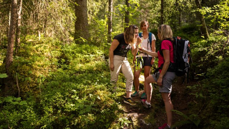

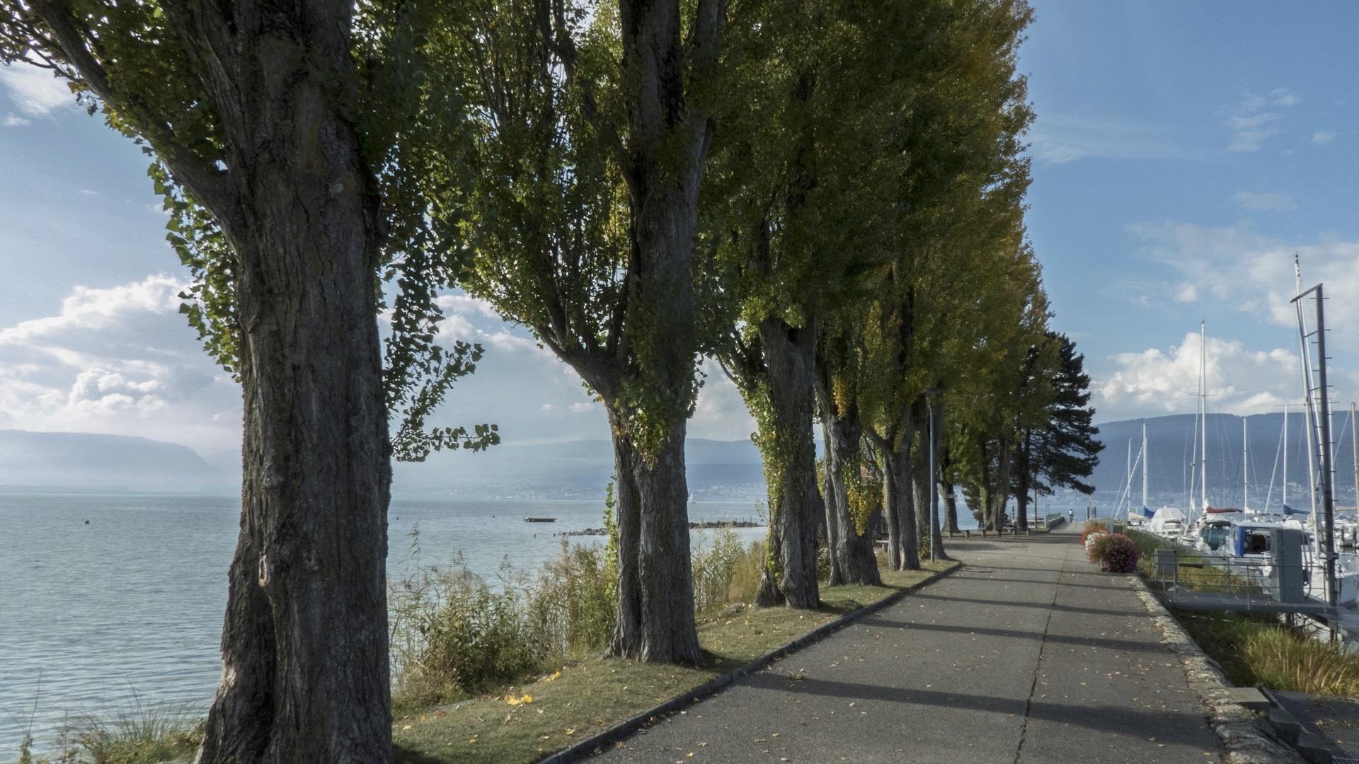
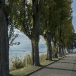
The path takes you from Portalban to Murten, where you are immediately plunged into the peace of the lakeside landscape and its gentle climate.
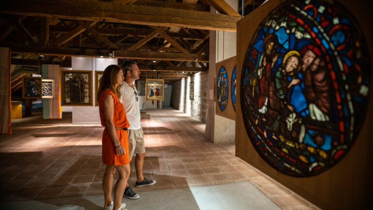
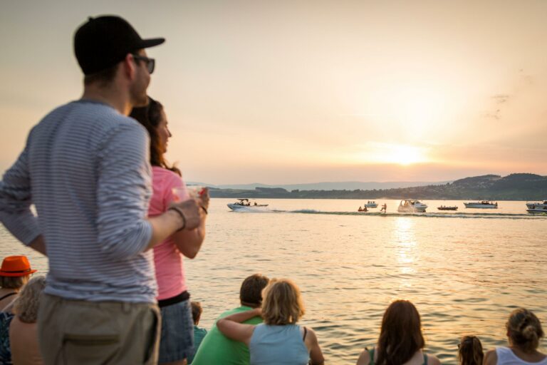
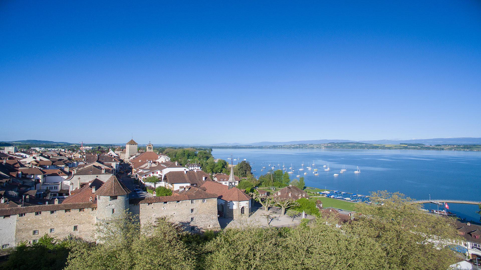
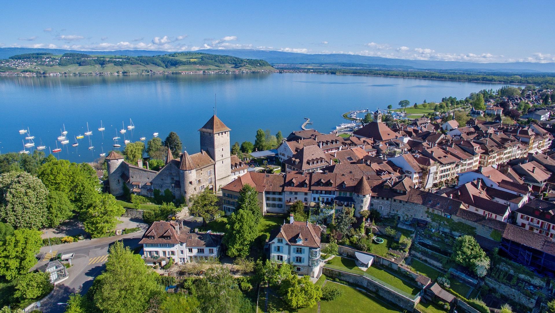
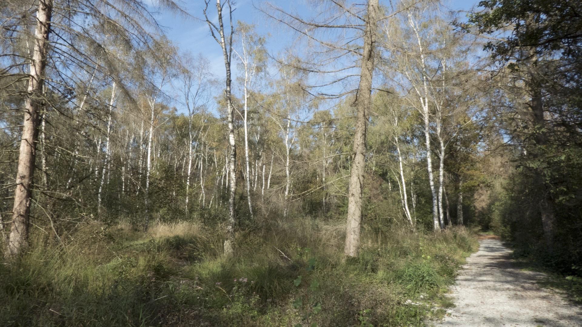
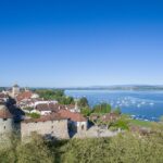
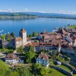
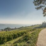
The beach in Portalban, with its vast stretch of sand and grass, is particularly popular with families. Then head towards Cudrefin. Its nature reserve, with its shallow waters, lakeside wetlands, low marshes and riparian forests, is mainly a resting place and source of food for ducks and migratory wading birds. It is also a wintering site for rare birds such as the merlin, Eurasian curlew and several species of goose. The BirdLife nature centre in La Sauge is a good place to stop. The route continues, first on a path alongside the La Broye canal and then climbing up through the forest to Mont Vully, from where there are stunning views over the Three-Lakes Region. From Sugiez, the path continues towards Murten, via the Chablais forest. Numerous observation towers offer you the chance to admire the wildlife along the banks. You will arrive in Murten, a charming, small mediaeval town that is well worth a visit, with its museum and city walls or just for a stroll under the arcades.
Tip: you have the option of crossing the La Broye canal by boat.
Accessible by public transport: yes
Accessible by car: yes
Difference in height: + 480 m / - 460 m


Properties of the itinerarie
Difficulty: Easy
Duration: 06:45
Distance: 26 km
Ascent/Descent: +348m / -340m
Altitude min./max.: 430m / 643m