


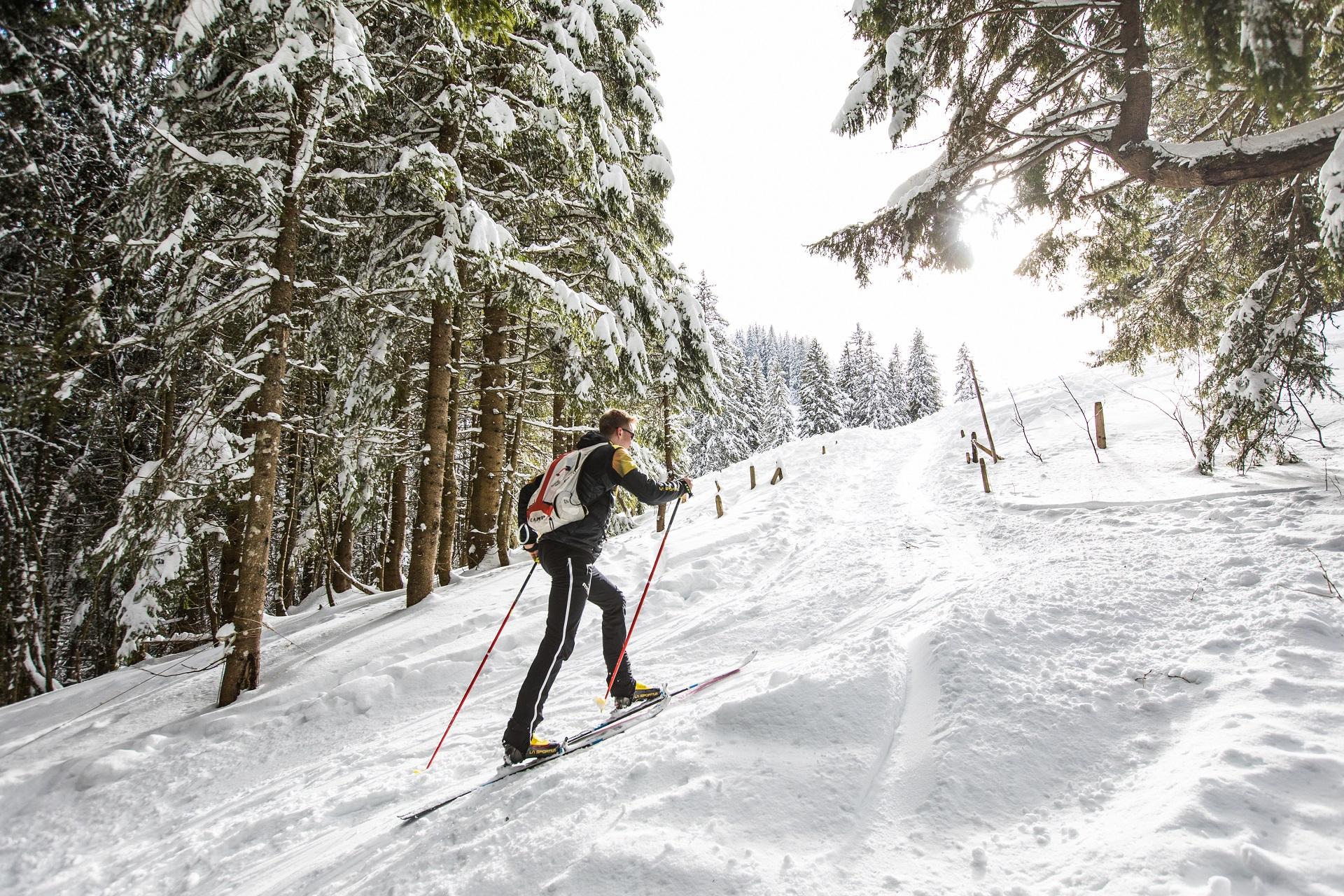
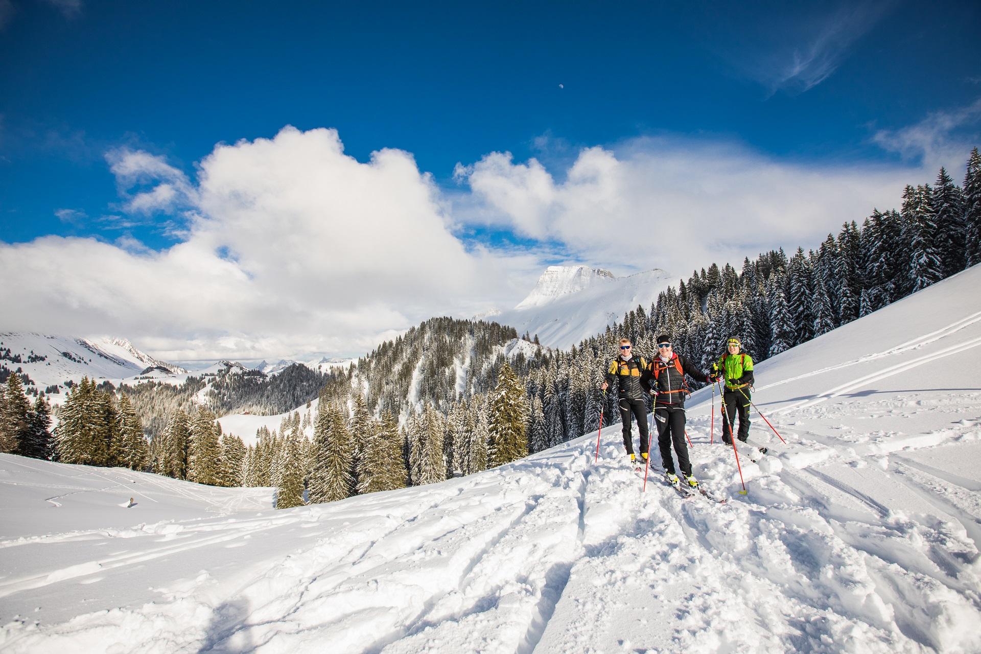
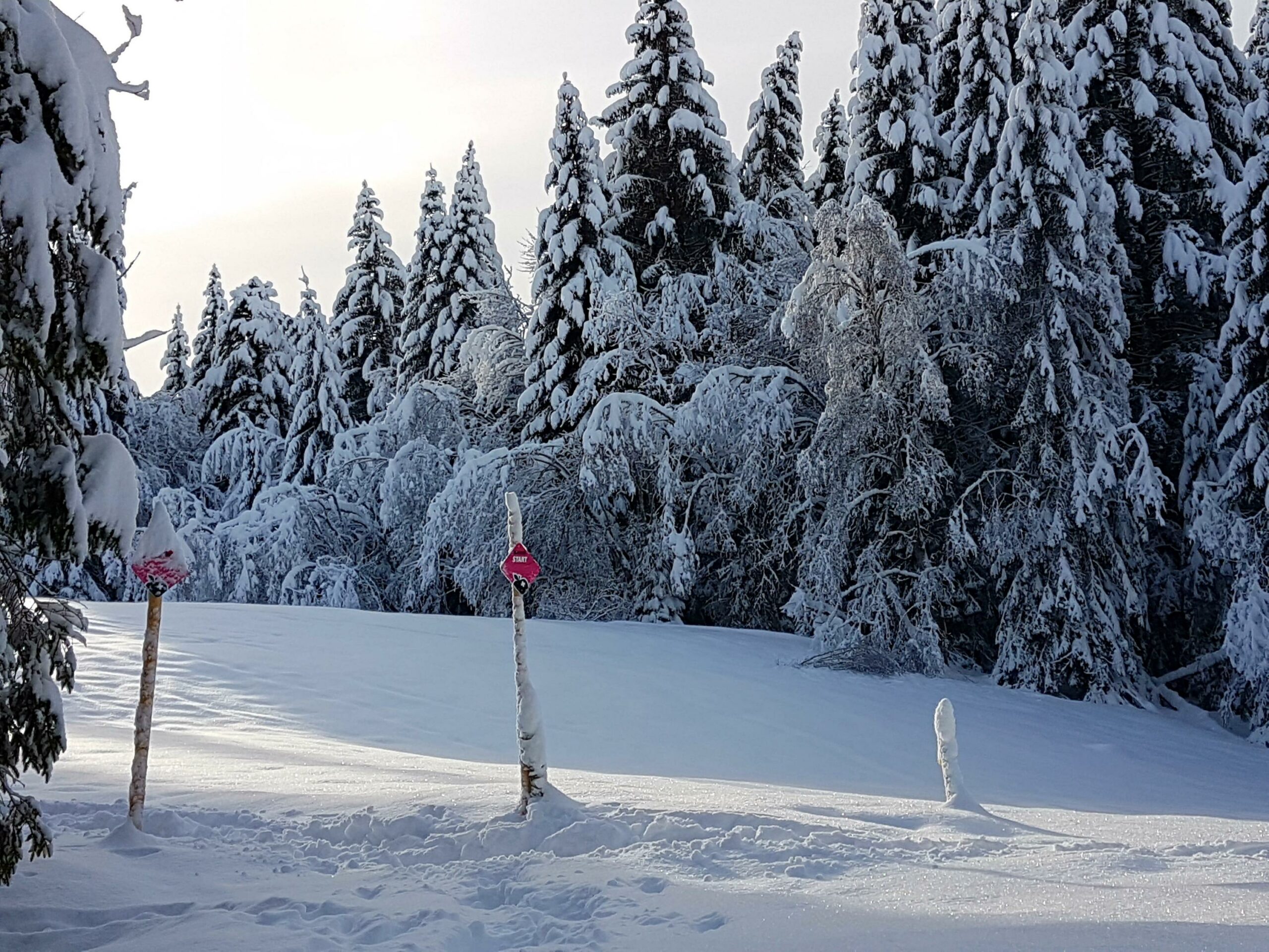
Magnificent 6.5km long hiking course surrounded by nature! Throughout the marked route, you will have the opportunity to discover wonderful landscapes of the Paccots region!
From Creux des Tables, this route offers a nice climb between forest and snowy pastures to reach the summit of Pralet at 1568 meters above sea level. You will enjoy the tranquility and the snow in abundance in this region of Paccots.
As a reward, a breathtaking view of the Dent de Lys and the other mountains of the region, all dressed in a splendid white coat. You will also appreciate the descent for your return to the starting point.
You will find below some characteristics and important information to read before taking this marked route. A map and the route profile are available in the attached external files.
Characteristics:
Total length: 6,41km
Ascent: 435 m
Descent: 435 m
Lowest point: 1130 m
Highest point: 1568 m
Important information:
● The descents by the ski lifts are closed outside of the ski lift operating hours (before 9:00 a.m. and after 4:30 p.m., until 9:30 p.m. on Wednesdays only). Outside opening hours, descents are not protected against dangers, such as grooming machines equipped with a winch and / or a cutter.
● Unsecured and unsupervised route
● The Paccots Tourist Office and the Region and Movement Skis decline all responsibility in the event of an accident.
Please observe the safety instructions.
Information
Les Paccots – La Veveyse Tourisme
Place d'Armes 15
1618 Châtel-St-Denis
Recommended equipment:
a DVA engaged, in "emission" mode, headlamp, a mobile phone, a shovel, a helmet and a probe.


Properties of the itinerarie
Type of activity: Sports
Difficulty: Challenging
Duration: 01:30
Distance: 6 km
Ascent/Descent: +511m / -511m
Altitude min./max.: 1135m / 1563m