


This four-hour circular walk starting in Les Paccots offers magnificent panoramic views – between the sky and the land. The route provides a breathtaking view over the Alps, the pastures and slopes of the Fribourg Alps, while in the distance, the blue of the sky seems to merge into Lake Geneva.
From Les Paccots (1,106 m of height), you will reach the Lac des Joncs and the inn of the same name (1,230 m of height) after around half an hour of walking. This deep mountain lake, dating back over 5,000 years, is an important breeding ground for frogs and toads as well as a very popular destination. Rare animal and plant species have made it a protected habitat.
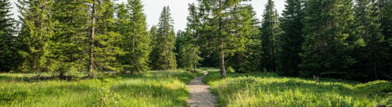
The main part of the walk starts at this point. The route climbs through a pleasant series of meadows and forests, with picture-postcard landscapes culminating with the view on Lake Geneva. An information panel in the small forest reserve in Le Barlattey explains why it is such an ecologically rich site. Admire the yellow and purple gentian along the path as you walk.
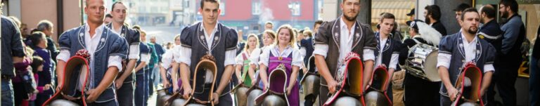
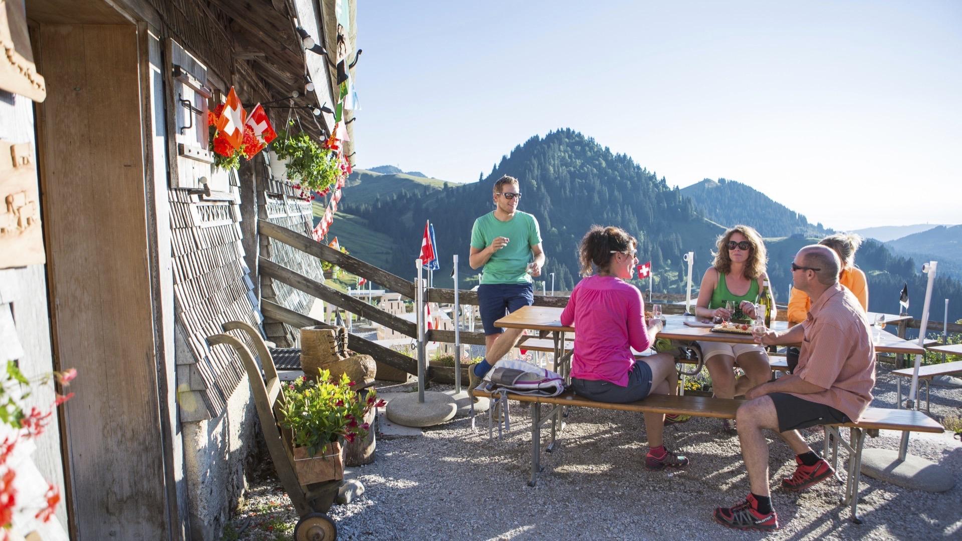
You will then leave the freshness of the forest to continue your adventure, facing the summit of the Moléson, at the foot of the Dent de Lys until you reach the mountain restaurant covered with shingles known as “La Saletta” (1,499 m of height). You have now completed the climb and can relax and contemplate the magnificent panoramic view opening out before you from the terrace. You can also enjoy the typically Fribourg culture of the Alpine restaurant – in the company of local walkers – for example at the Buvette Le Vuipay, which you will reach after half an hour of walking. The return to the valley is through pastures and along forest paths.
Tip: Discover the Gourmet path. Two mountain restaurants and two alpine huts welcomes the hikers for a deserved break.
Accessible by public transport: yes | Nearest bus stop: Les Paccots, Les Rosalys
Accessible by car: yes
Difference in height: + 720 m / - 720 m


Properties of the itinerarie
Difficulty: Moderately difficult
Duration: 04:00
Distance: 13 km
Ascent/Descent: +637m / -637m
Altitude min./max.: 1108m / 1575m


