Region of Fribourg

The tourist region of Fribourg offers you unforgettable experiences... Lake, city or mountains, discover a real land of values!


Fribourg Meeting offers you the possibility to comfortably organize your future seminars or congresses.

Choose a region

La Gruyère
Fribourg
Estavayer-le-Lac
Region
Region
Murtensee
Schwarzsee -
Senseland
Romont Région
Les Paccots
- La Veveyse

What are you looking for?

Choose a region

Welcome to the website of Fribourg Region and its tourist regions. Please select on the map the region you wish to discover and browse through its offers. We wish you a lot of fun!

swiss map
La Gruyere
Fribourg
Estavayer-le-Lac
Region
Région Lac
de Morat
Schwarzsee-
Senseland
Romont
Les Paccots
You are in the region
Search

The Little Gourmet

Book online now!

Click here

Properties of the itinerarie

Difficulty: Very easy

Duration: 01:30

Distance: 5 km

Ascent/Descent: +190m / -189m

Altitude min./max.: 1074m / 1235m

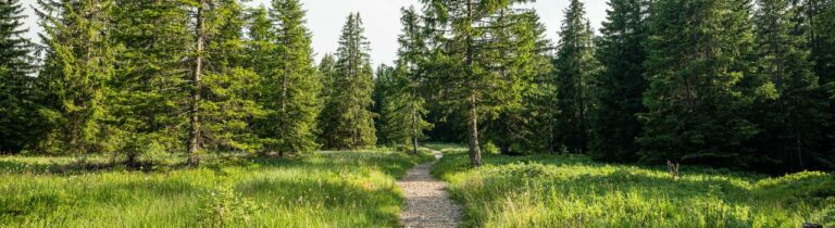
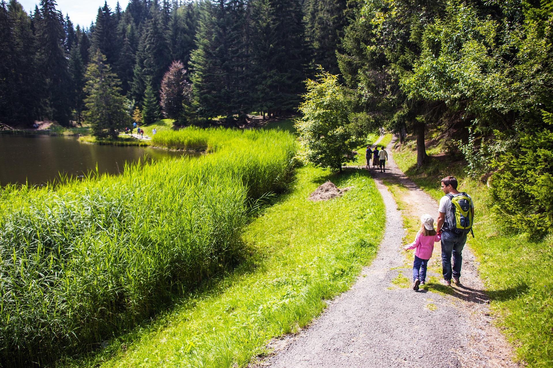
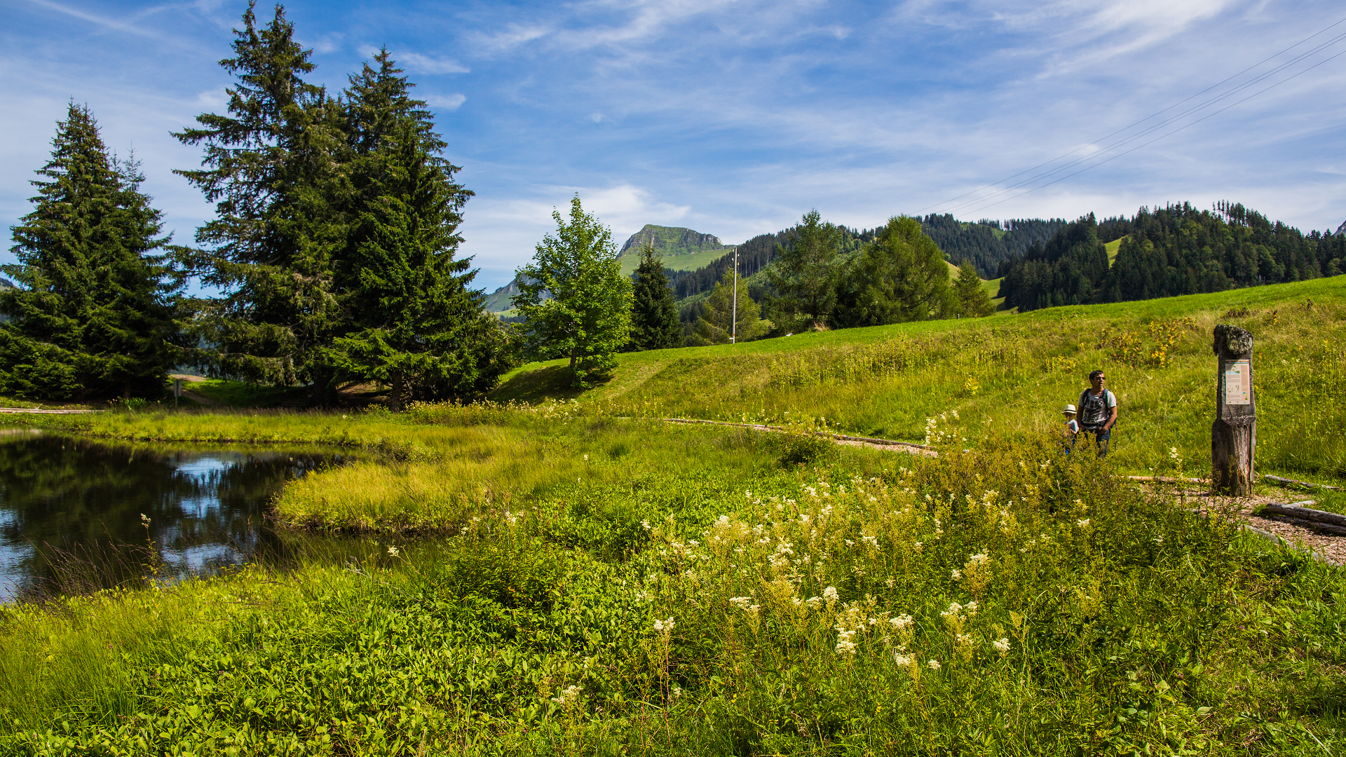
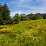
Let's go for a typical Fribourg menu! Passing Lac des Joncs and the recreation area, this easy walk is particularly suitable for families with young children.

The route, which takes a total of 1.30 hours excluding breaks, covers a distance of 5 km. Gourmet stops include

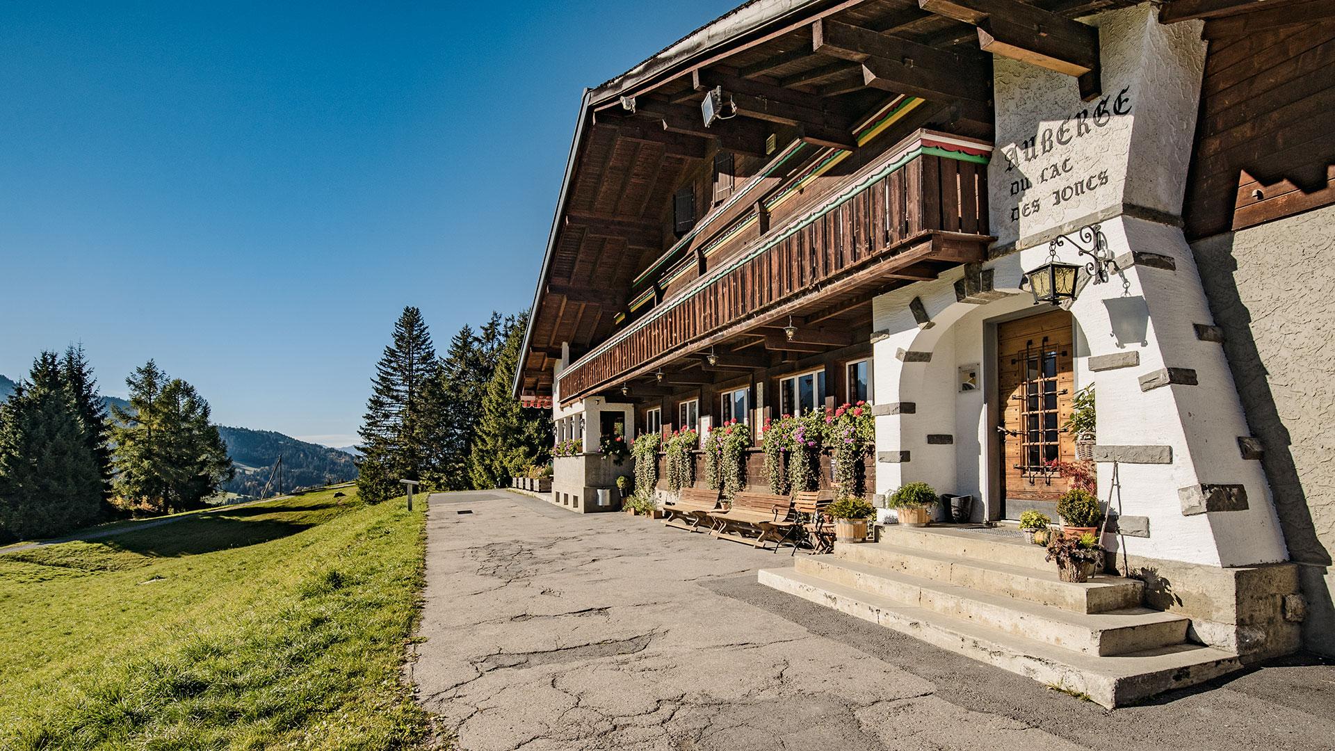
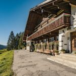
- Auberge des Joncs: Planchette du terroir
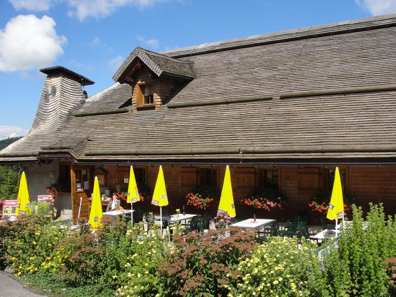
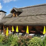
- Restaurant des Rosalys: Macaroni from the chalet
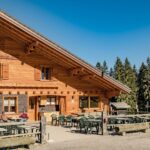
- Restaurant Le Tsalè: Meringue and double cream or two scoops of ice cream

Validity:
June, Friday to Sunday
July (to 14th), Tuesday, Friday to Sunday
July 15 to August 15: Tuesday, Thursday to Sunday
August (from 16th), Tuesday, Friday to Sunday
August (from the 22nd) to October, Friday to Sunday

Departure:
No later than 11.30 a.m. from Parking des Verollys.

45.- CHF
35.- CHF

Information

Les Paccots – La Veveyse Tourisme
Place d'Armes 15
1618 Châtel-St-Denis

Reservation required for 6 people or more at the Tourist Office

Route n°4 on the map "Great walks"

Book online now!

Click here

Properties of the itinerarie

Difficulty: Very easy

Duration: 01:30

Distance: 5 km

Ascent/Descent: +190m / -189m

Altitude min./max.: 1074m / 1235m

Download files

External links

Report an error

More information

We use cookies to provide you with a better experience.

By browsing this site, you accept the Data Protection Policy, as well as the use of cookies to collect statistics for the purpose of continually improving the website.

Close