Region of Fribourg

The tourist region of Fribourg offers you unforgettable experiences... Lake, city or mountains, discover a real land of values!


Fribourg Meeting offers you the possibility to comfortably organize your future seminars or congresses.

Choose a region

La Gruyère
Fribourg
Estavayer-le-Lac
Region
Region
Murtensee
Schwarzsee -
Senseland
Romont Région
Les Paccots
- La Veveyse

What are you looking for?

Choose a region

Welcome to the website of Fribourg Region and its tourist regions. Please select on the map the region you wish to discover and browse through its offers. We wish you a lot of fun!

swiss map
La Gruyere
Fribourg
Estavayer-le-Lac
Region
Région Lac
de Morat
Schwarzsee-
Senseland
Romont
Les Paccots
You are in the region
Search

Sentier des Lutins

Properties of the itinerarie

Type of activity: Family

Difficulty: Easy

Duration: 00:30

Distance: 1 km

Ascent/Descent: +90m / -9m

Altitude min./max.: 1107m / 1189m

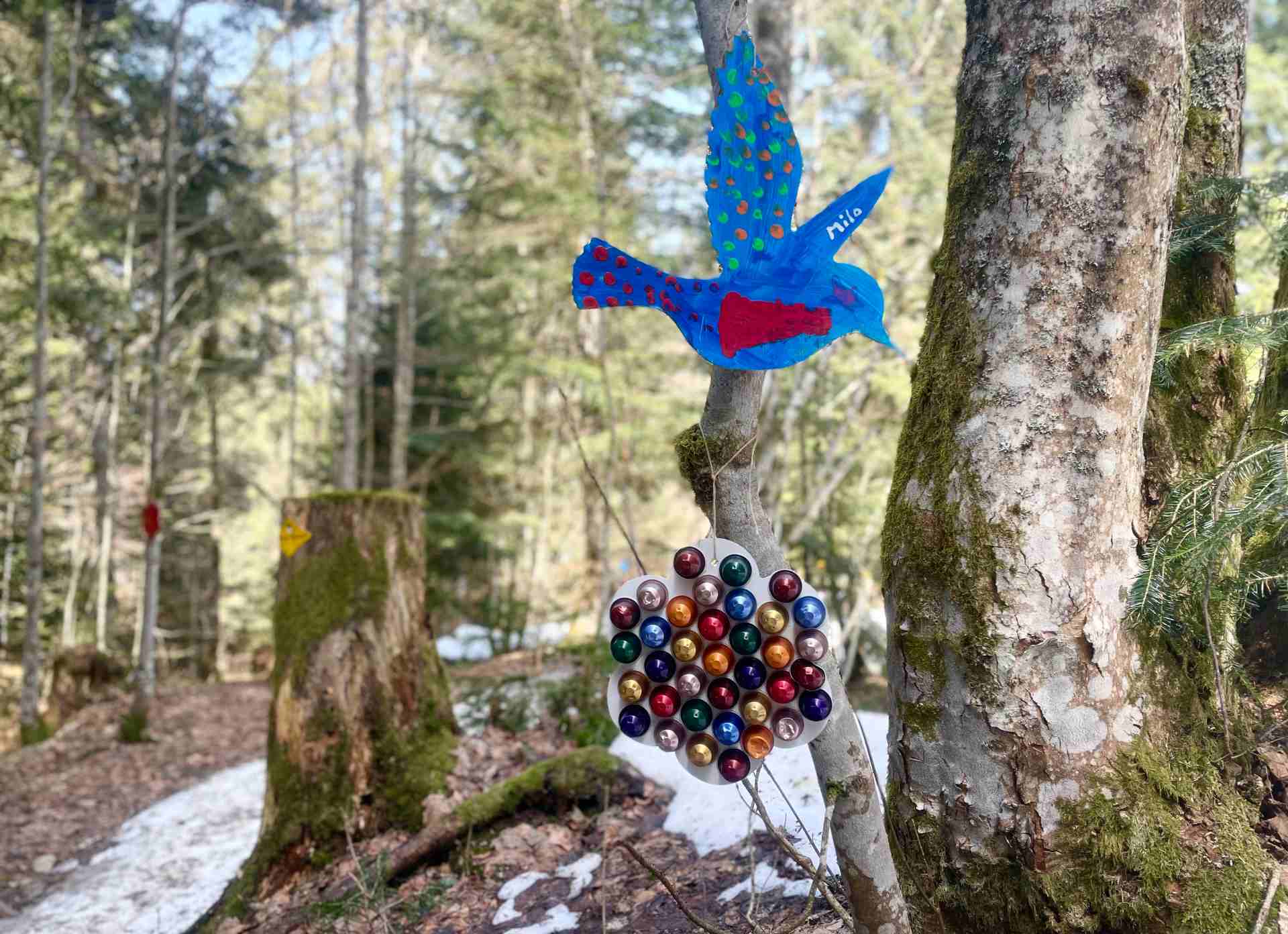
Discover the adventures of Santa Claus in the magical forest of Paccots.

Discover a wonderful Christmas tale along the trail. You will be fully immersed in this world thanks to the many Christmas decorations.

The trail is a round trip and was set up in collaboration with the Association "Les Amis des Paccots" and the Commune of Châtel-St-Denis.

Ticketing

Les Paccots – La Veveyse Tourisme
Place d'Armes 15
1618 Châtel-St-Denis

How to get there?

Two parking lots are available:
- Parking Les Rosalys, along the road to Les Dailles (do not drive up to the restaurant des Rosalys, unless you have a reservation). Continue on foot in the direction of the Rosalys restaurant, following the signs;
- Parking des Vérollys, the same parking lots as the ones for skiing. The arrival is behind the parking, in front of the small Vérollys. In this case the path is done in reverse: first go down to the Vérollys and then go back up by reading the tale.

The TPF buses serve the Rosalys parking lot by the stop "Les Paccots, Les Rosalys".

Properties of the itinerarie

Type of activity: Family

Difficulty: Easy

Duration: 00:30

Distance: 1 km

Ascent/Descent: +90m / -9m

Altitude min./max.: 1107m / 1189m

Download files

Report an error

More information

We use cookies to provide you with a better experience.

By browsing this site, you accept the Data Protection Policy, as well as the use of cookies to collect statistics for the purpose of continually improving the website.

Close