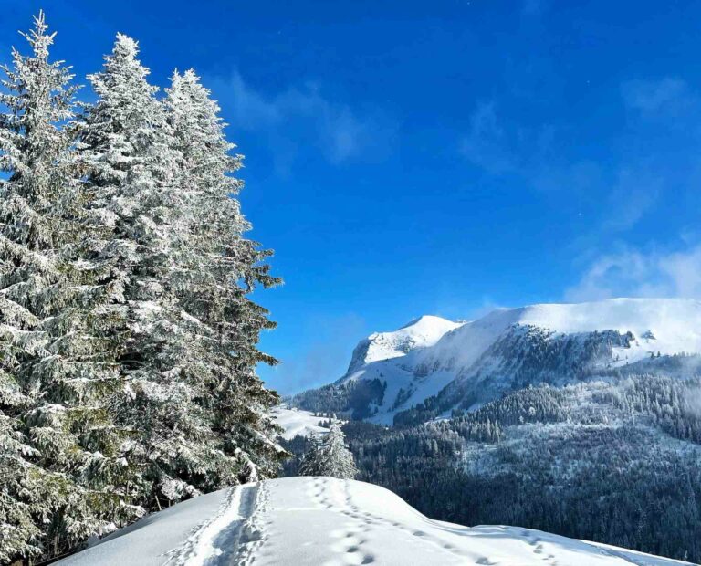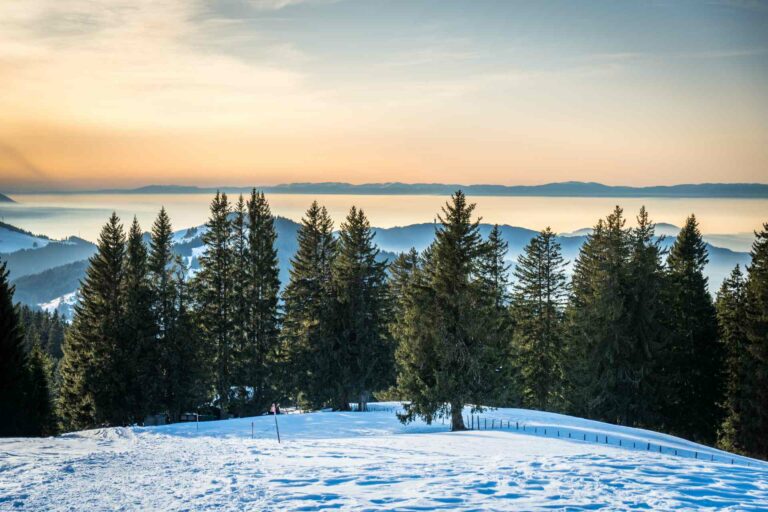

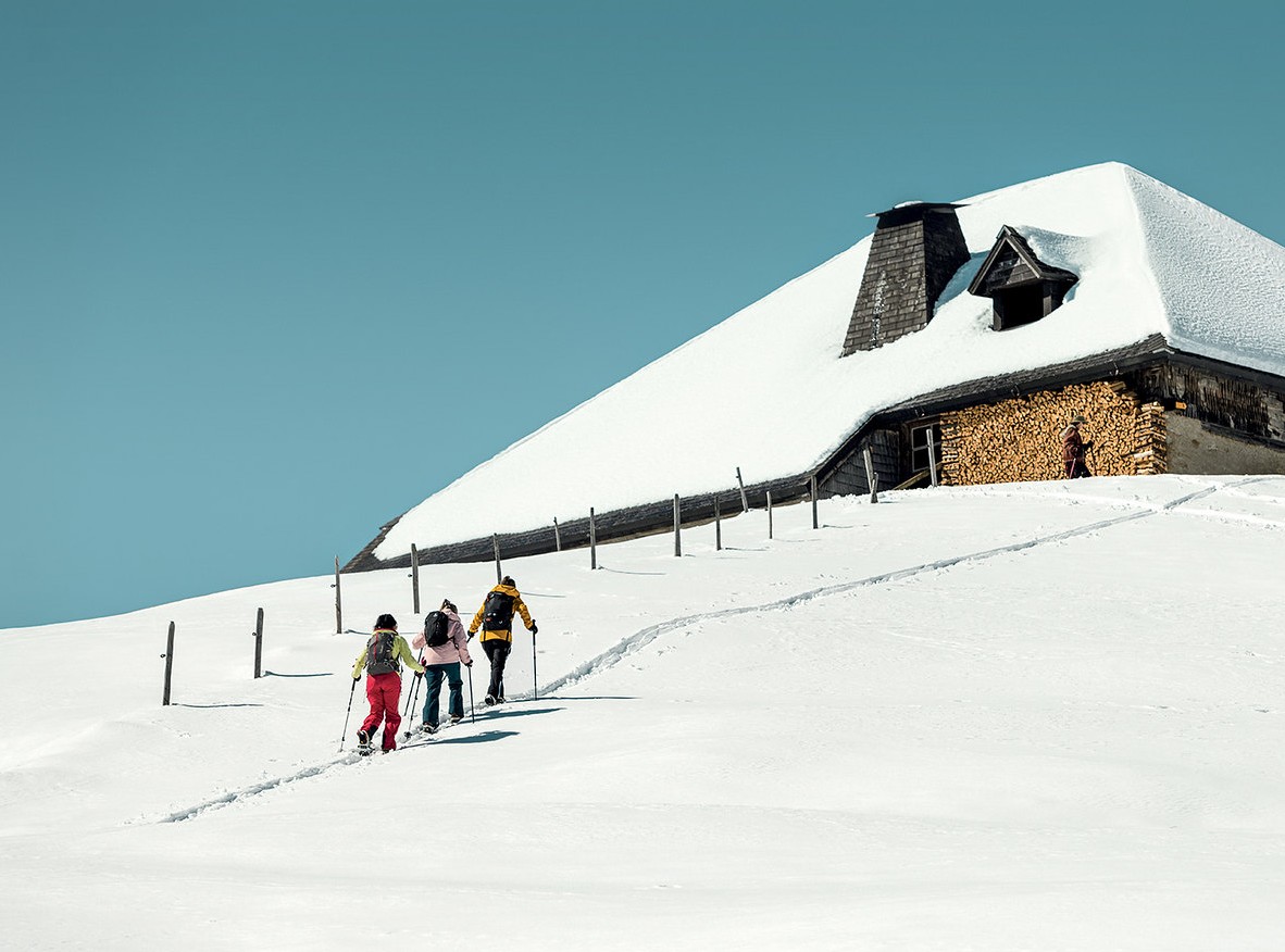
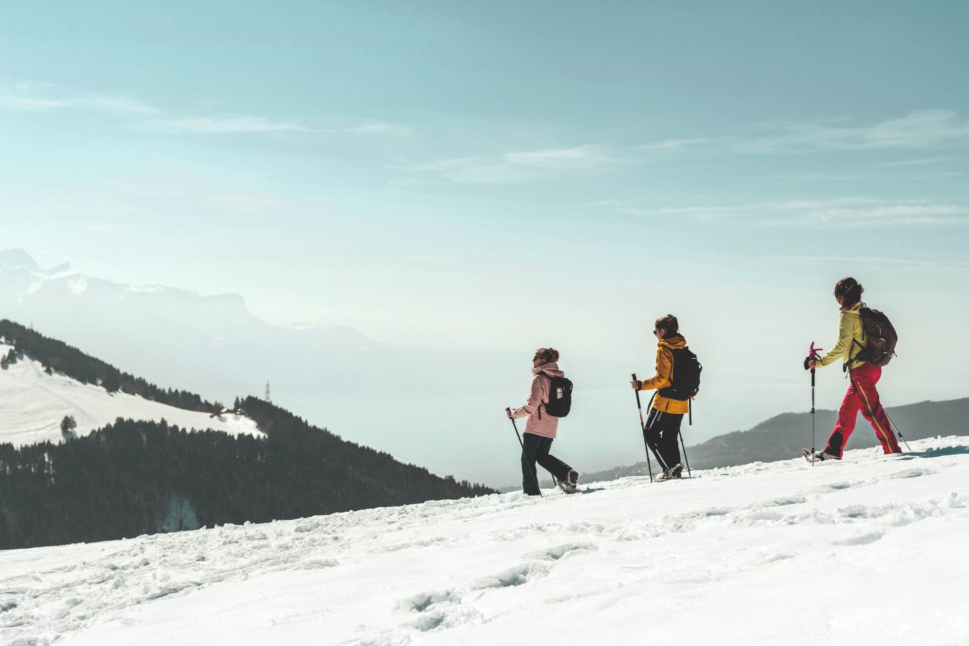
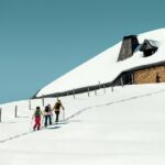
The charm of snow-covered mountain chalets and a view over Lake Geneva make this circular walk an unmissable experience in the Pre-Alps region.
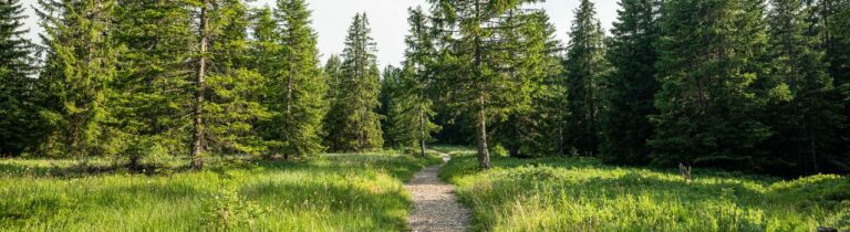
From Les Rosalys, the forest path winds down to Les Vérollys, the lower stop on the ski tow. The trail heads towards the Chalet de la Meyetta and climbs to the top of the Corbetta mountain via the Chalet Vuichouda. There you can enjoy the view on the Geneva Lake ! The Crest of Corbetta allows to join the mountainside of La Cierne then you keep descending to Les Joncs and his delightful lake. The path goes back to Les Vérollys and cross again the forest to arrive at Les Rosalys, your starting point.
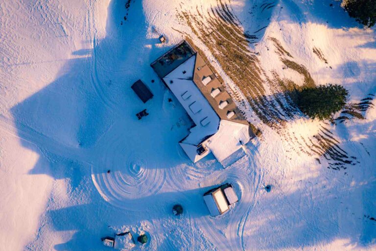
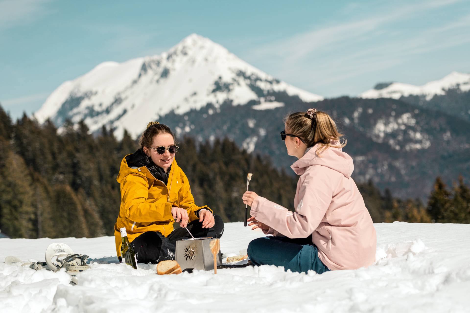
The Auberge du Lac des Joncs and the restaurant Les Rosalys invite you to a well-earned pause on their homely terraces and offer delightful region's specialities.
Start: Parking Les Rosalys
It is possible to shorten the walking time by taking the link which is on the right a little after the toboggan run of Joncs. It will then take 1h30 to complete the loop.
Possibility of departure from the centre of Les Paccots with the connection Les Paccots-Les Vérollys, about 30 minutes walk.
SwitzerlandMobility: route 267
Information
Point Info Les Paccots
Rte des Paccots 215
1619 Les Paccots


Properties of the itinerarie
Type of activity: Sports
Difficulty: Moderately difficult
Duration: 03:00
Distance: 7 km
Ascent/Descent: +415m / -414m
Altitude min./max.: 1110m / 1393m